
Wayfinding for large venues and campuses
Help people find their way around your stadium, arena, hospital or campus. Show buildings, entrances and services on one interactive map, from the car park to the right door.
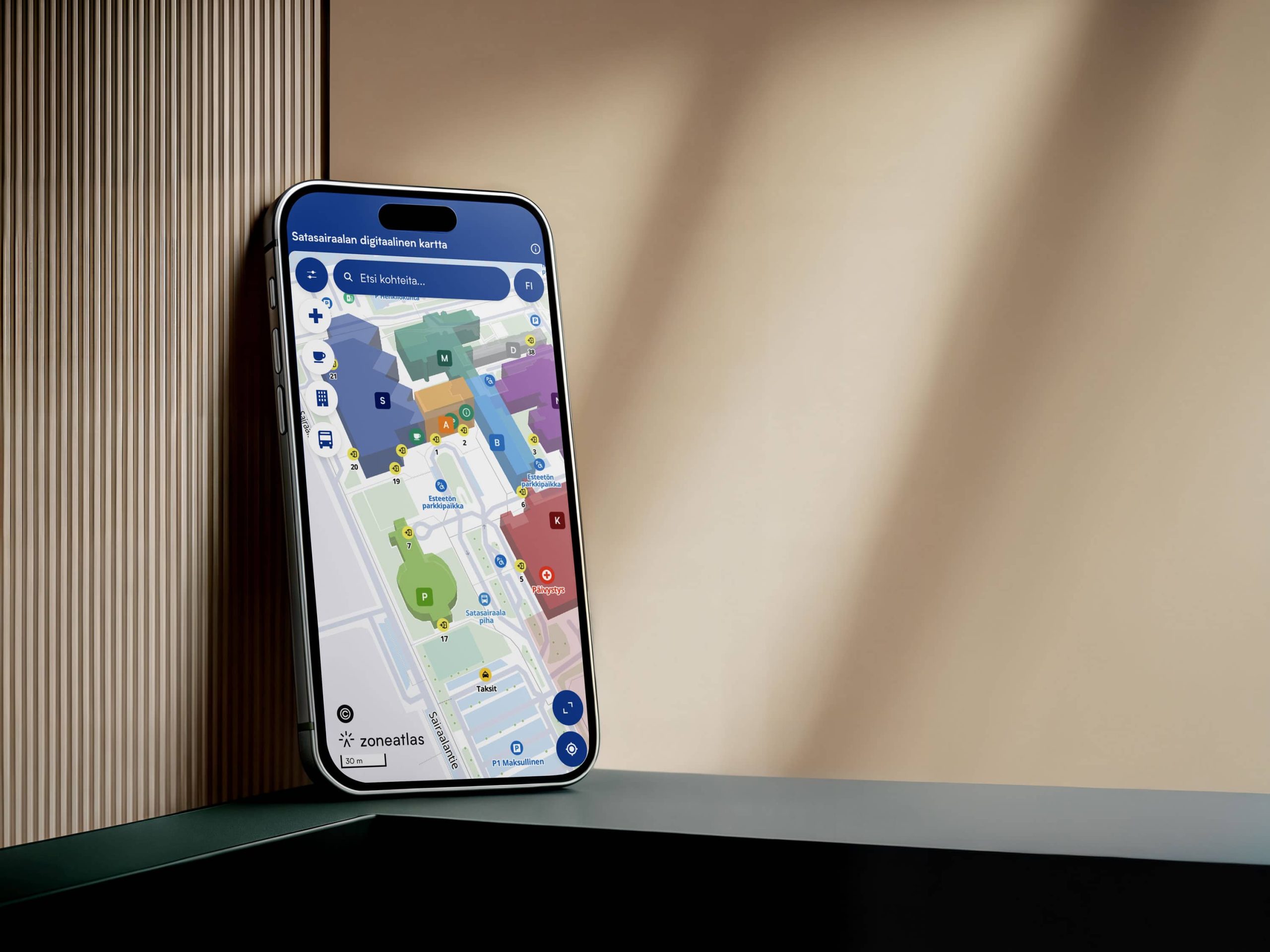
Trusted by Finland's national stadium and the regional hospital of Satakunta




Your Venue in 3D
A map visitorsrecognise instantly
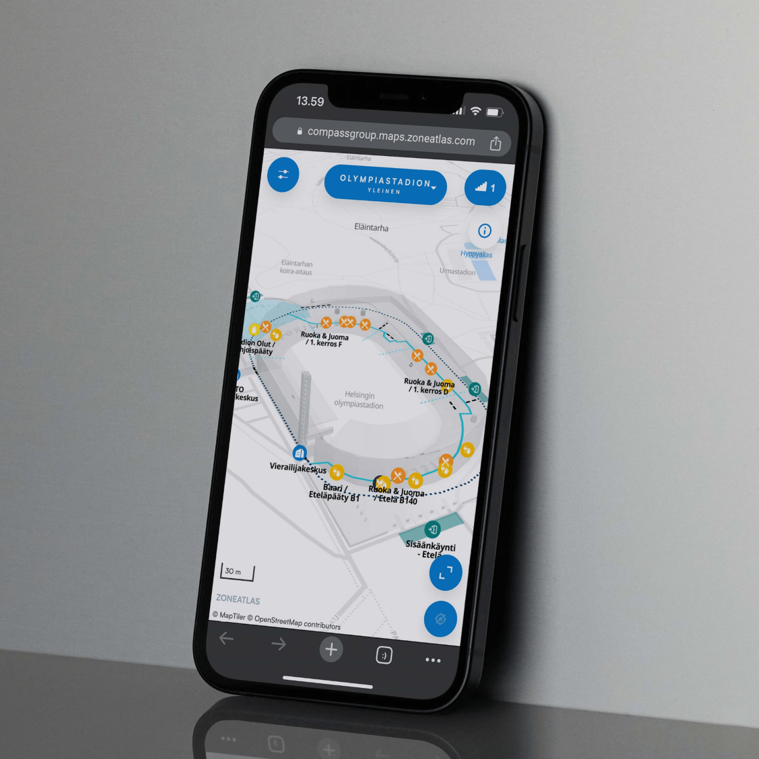
Show stands, entrances, buildings and landmarks in 3D, the way visitors see them in real life. Draw simple 3D shapes yourself, bring in an existing model of your venue, or have us model it for you.
From arrival to the right door
Get peoplewhere they need to be
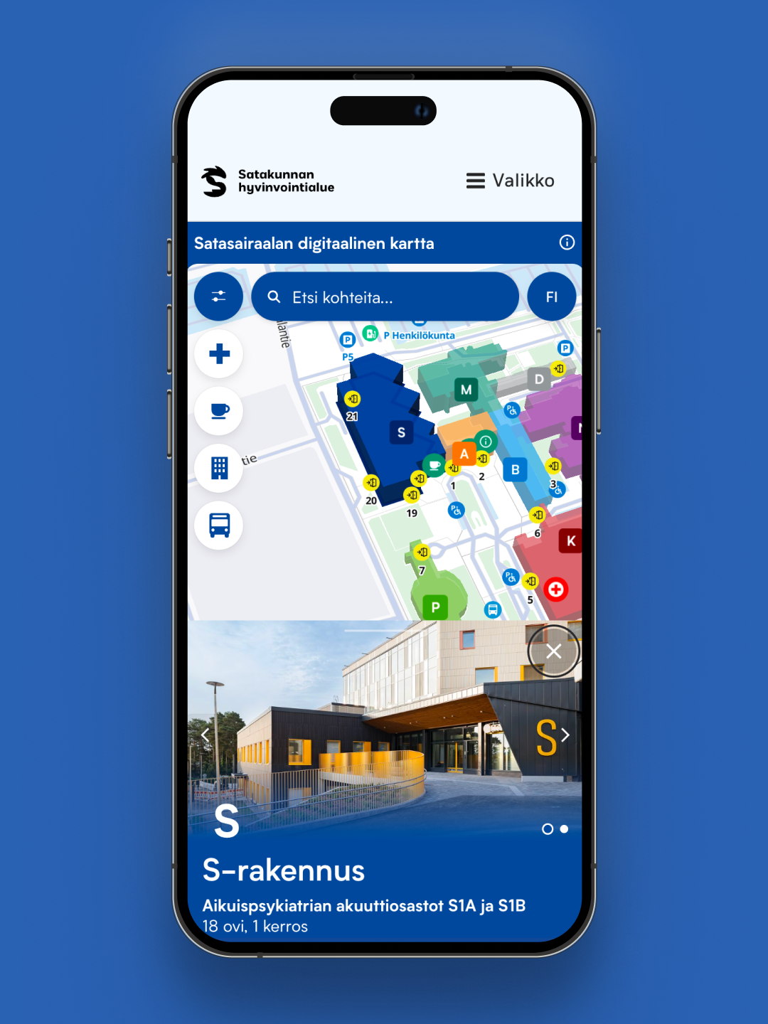
Show where to park, which bus stop to use and which entrance leads to each department. Visitors search for the service they need and see it on the map with one tap. Add step-free routes and accessible entrances, and put the same map on touch screens in lobbies.
One venue, many layouts
A new map for every event,without starting over
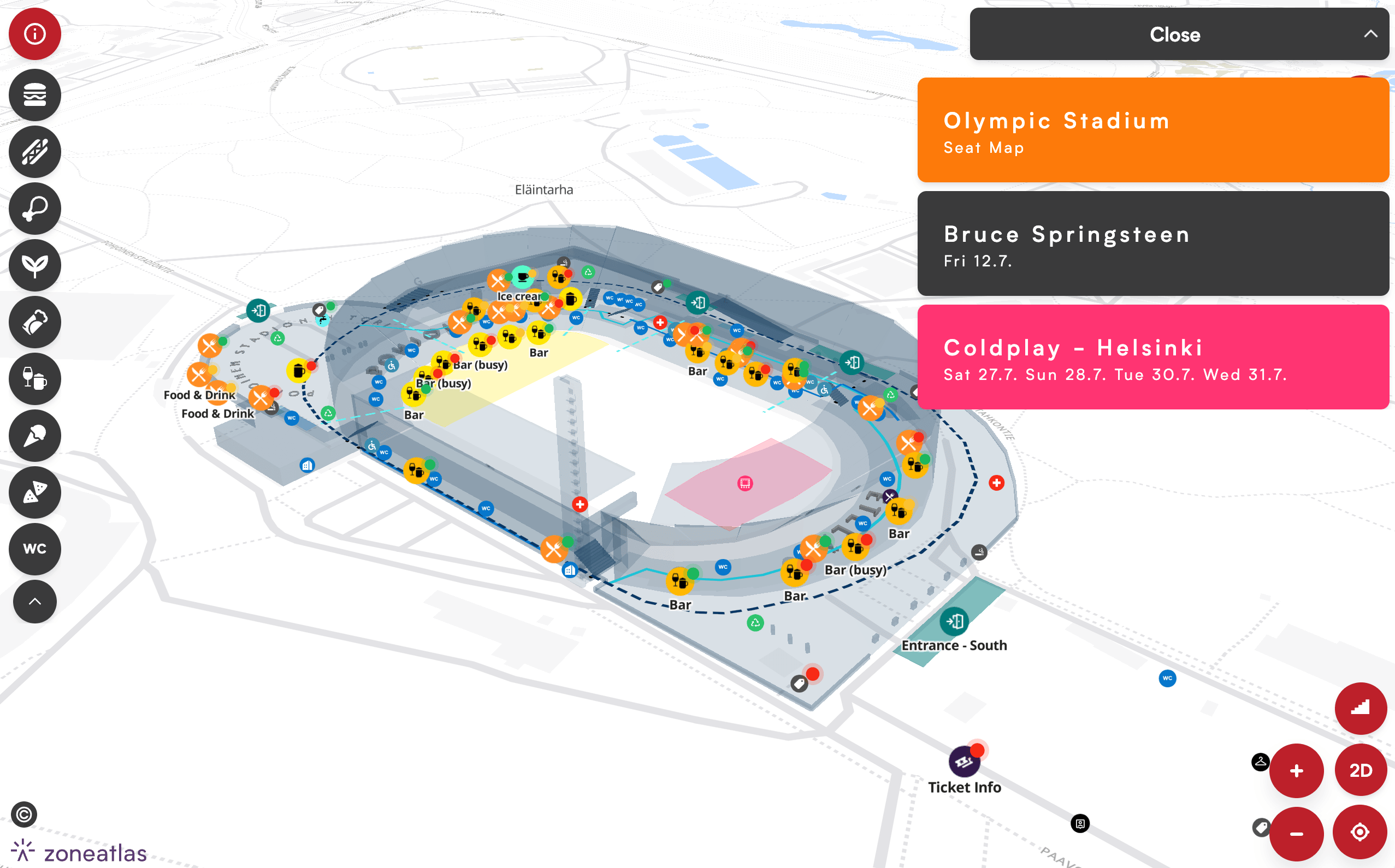
Keep one base map of your venue and give each event its own layout: services, sales points, colours and recommended routes. Give event organisers editor access limited to their own layout, so they can update it without touching yours.
Extend Your Map
Add-ons
Add powerful features to your map, enhancing its value and creating tailored experiences for users.





Finland's national stadium, mapped in 3D
Helsinki Olympic Stadium guides concert and match crowds with a 3D map built on a model of the stadium.
The base map stays the same, while every major event gets its own branded layout with services, sales points and recommended routes.

Faq
Questions from venue and campus teams
Can’t find your answer? We’ll walk you through it.
There are three ways to do it. Create simple 3D shapes for buildings and structures yourself in the editor. Send us an existing 3D model of your venue and we’ll place it on your map. Or let us model your venue for you as a separate project.
Yes. Show separate floors and key indoor areas, such as lobbies, halls, receptions and service points. The map is designed to help visitors find the right building, entrance, floor and service.
Yes. Keep one base map and create a layout for each event with its own services, colours and routes.
Yes. Give them editor access limited to their layout, and your base map stays under your control.
Yes. Publish your map in as many languages as you need. A built-in translation tool drafts each language version automatically, so you only need to review and fine-tune the text.
Yes. Once a visitor has opened the map, its content is saved in their browser, so it keeps working when the network at a crowded venue slows down or drops out.
Ready to build your first map?

Timo Joensuu
Start for free, or book a 30-minute demo and we’ll show you how to get the most out of the platform. We’ll focus on your needs, answer your questions, and help you get started.