
Interactive maps that lead the way
Create beautiful maps and smart guides for outdoor, tourism, culture and events with Zoneatlas.
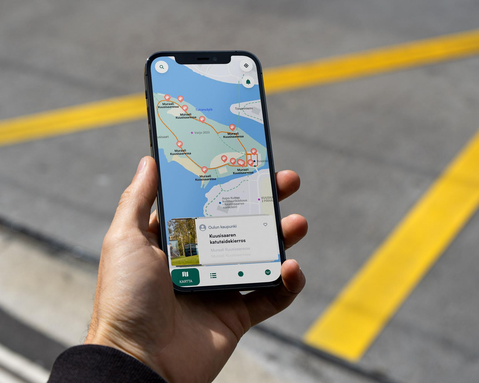
Cities & Municipalities
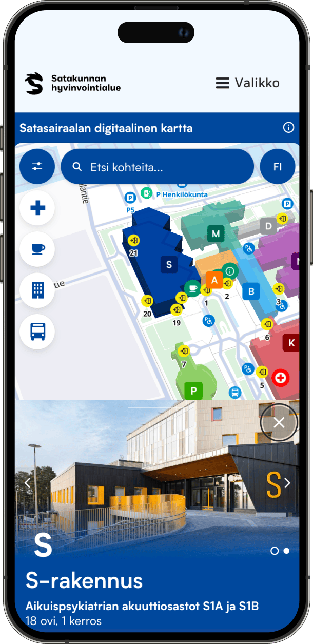
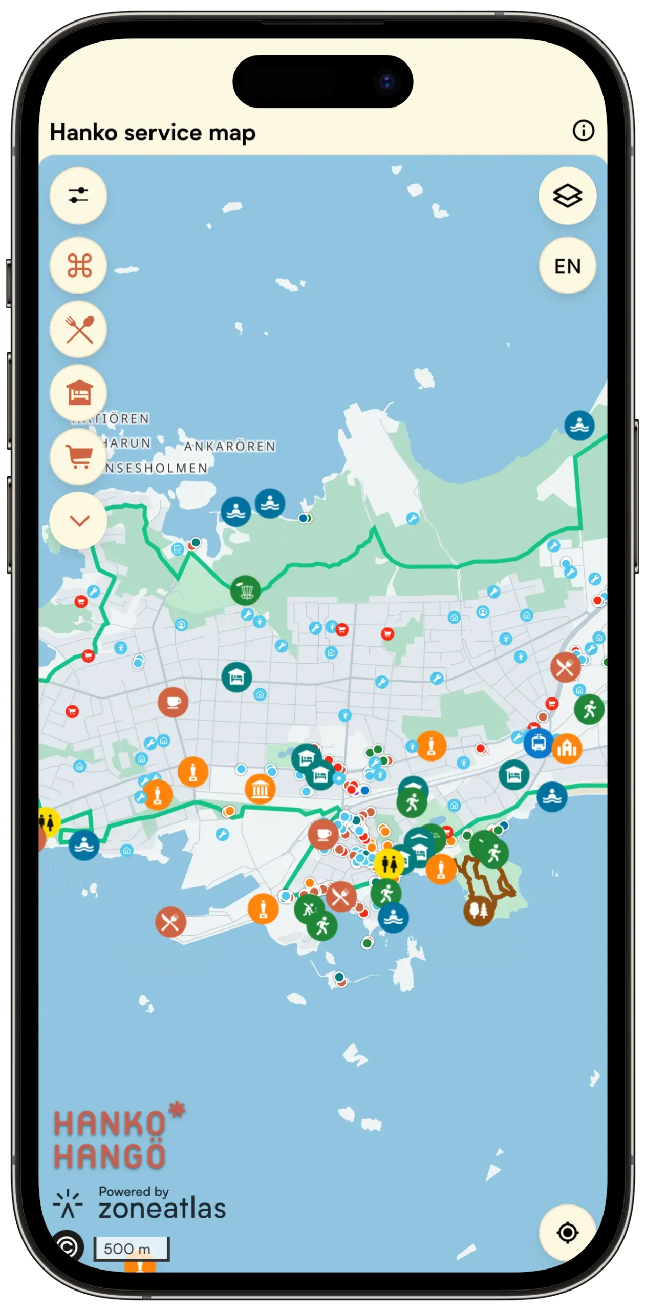
Provide residents and visitors one interactive map with everything your town offers.
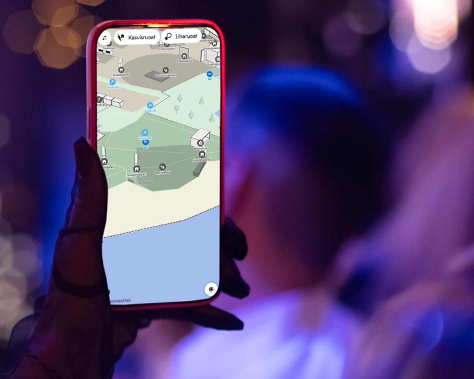
Events & Festivals
An easy-to-use event map guides your visitors to the right locations at the right time, made to fit your event’s style.
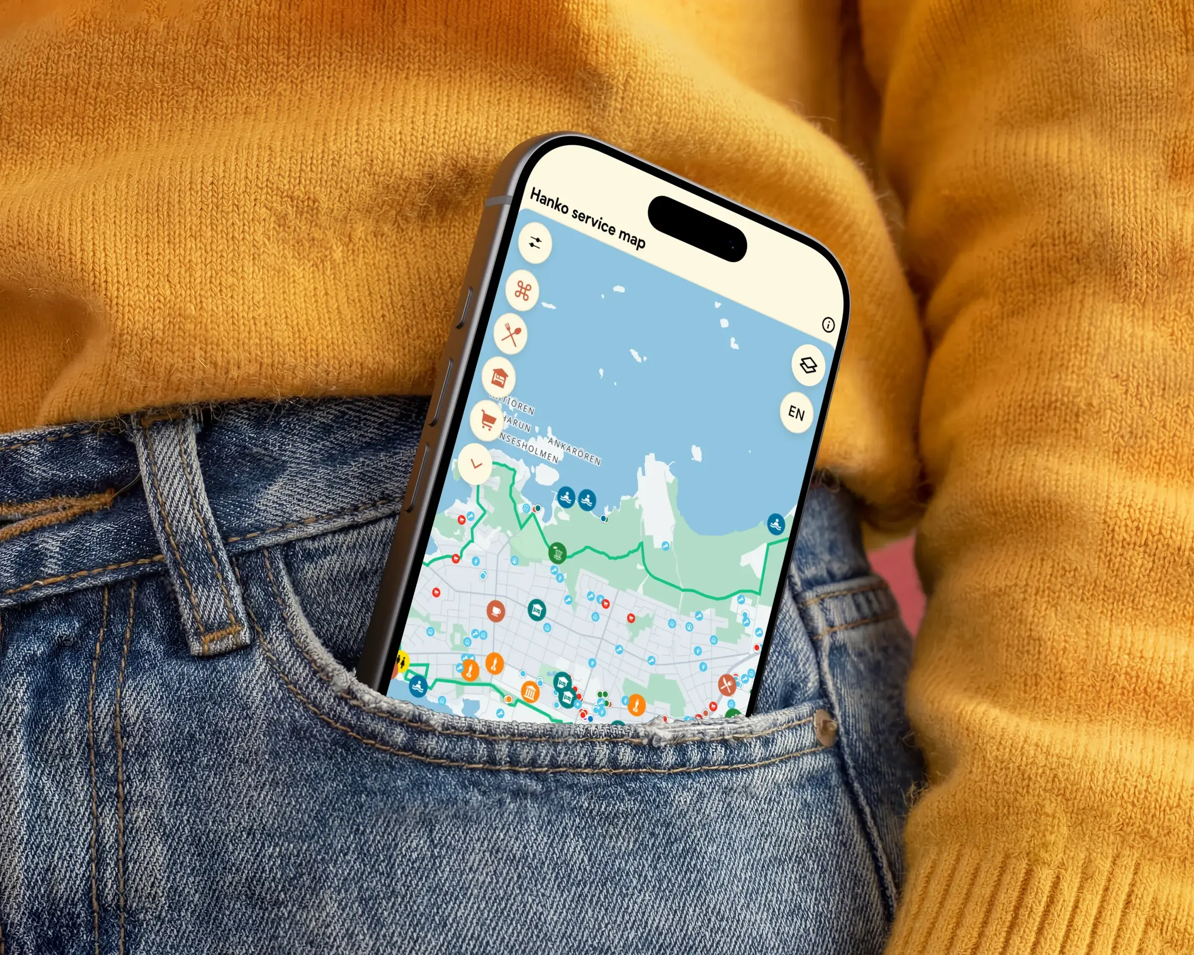
Destinations & Tourism
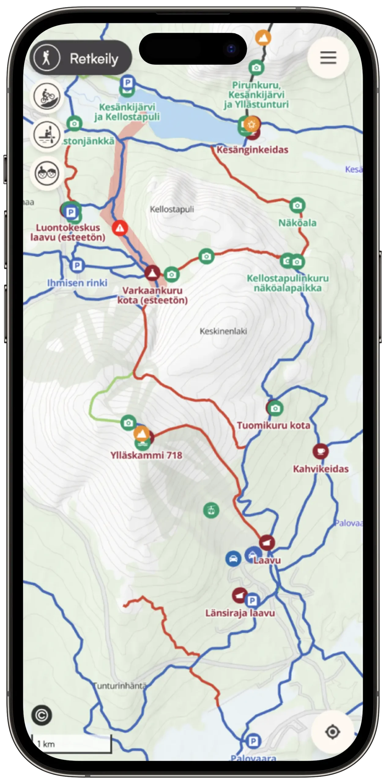
Smart destination maps showcase your region beautifully and guide visitors to what matters most.
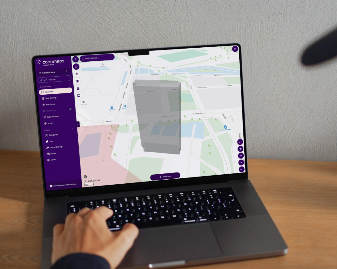
Manager
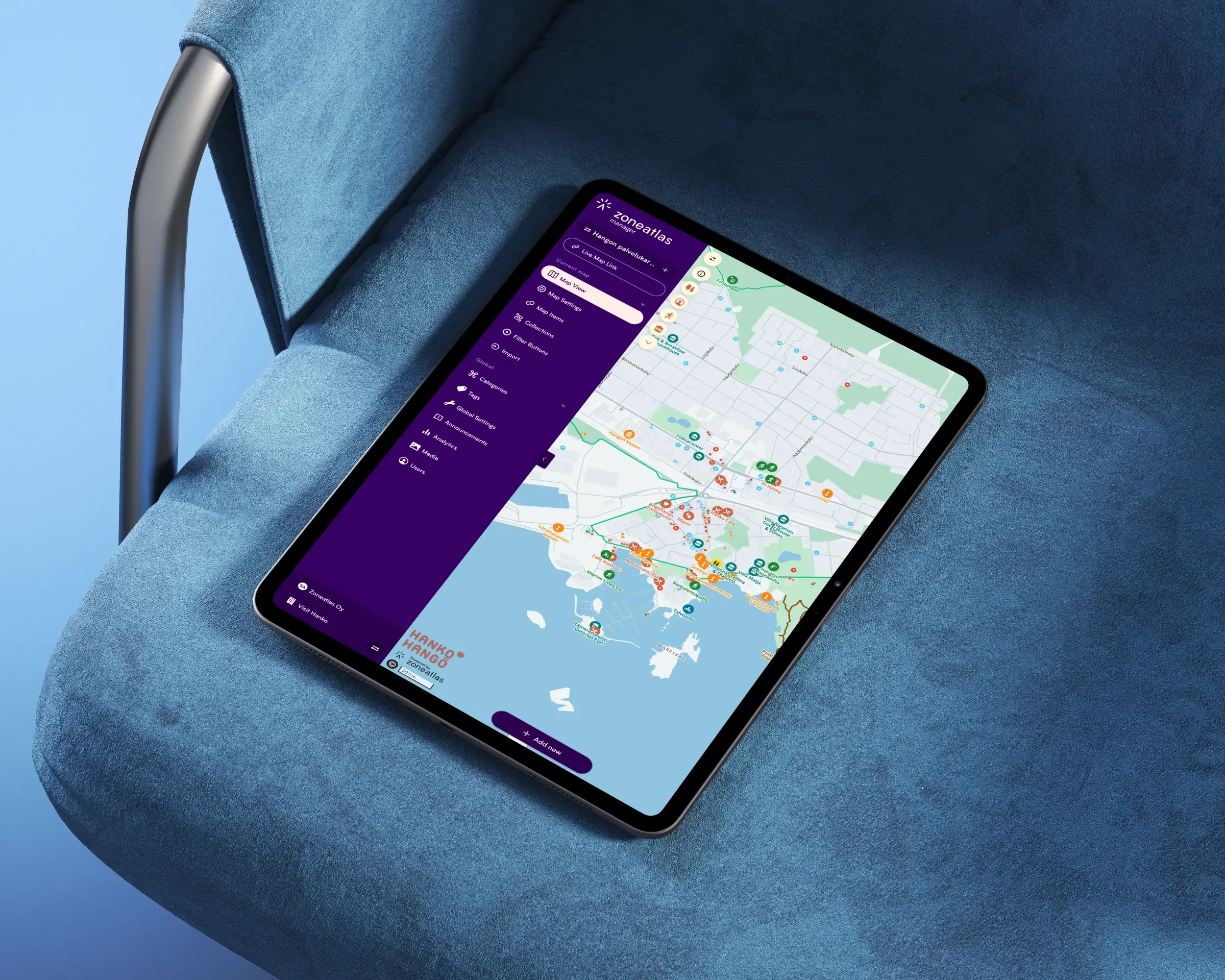
Build maps without a GIS team with Manager
Add points of interest, draw routes and areas, set your brand colours and publish. Manager is a map editor that runs directly in the browser with an effortless setup so your team can start creating right away.
Manager
Your map, your look - customise brand to fit your style
Change colors and fonts, add logos to match your brand or vision. Choose what components are most useful for your users.

Manager
Extend with powerful add-ons
Choose add-ons to fit your needs. Collect user feedback, display live data or sell access to your map, all easily configurable.
Zoneatlas is your partner in stunning interactive maps and smart location services
We believe that everybody should be able to make beautiful and user-friendly interactive maps. That’s why we created Manager, our versatile map editor where user-experience comes first.
We are trusted by the industry’s top players:










Need more than a map?
Our team designs and builds custom location-based services around your needs.

Platform development
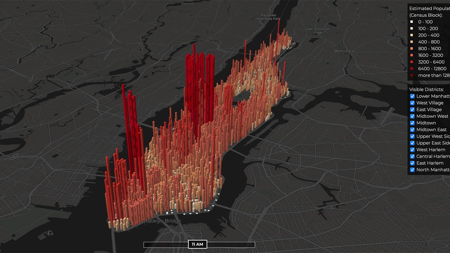
A customised location-based platform to showcase and interact with your own and your customers’ location data.

Service design
We design and implement location and map-based services that exceed your needs.
Ready to build your first map?

Timo Joensuu
Start for free, or book a 30-minute demo and we’ll show you how to get the most out of the platform. We’ll focus on your needs, answer your questions, and help you get started.