
Your town's services, routes, events and sights on one map
Give residents and visitors one interactive map with everything your town offers: services, sports, culture, beaches, cycling routes and what’s on this week. Build it without a GIS team, and keep it current with the people you already have.

Trusted by towns and cities across Finland






One map for residents and visitors
Everything your town offers,in one place
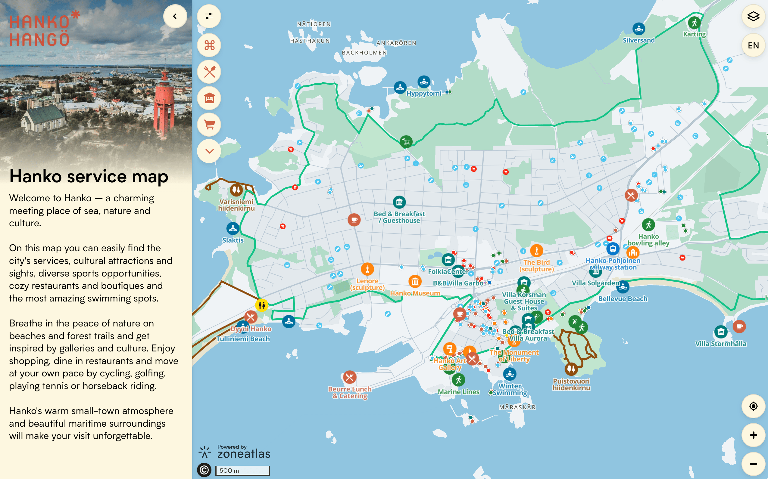
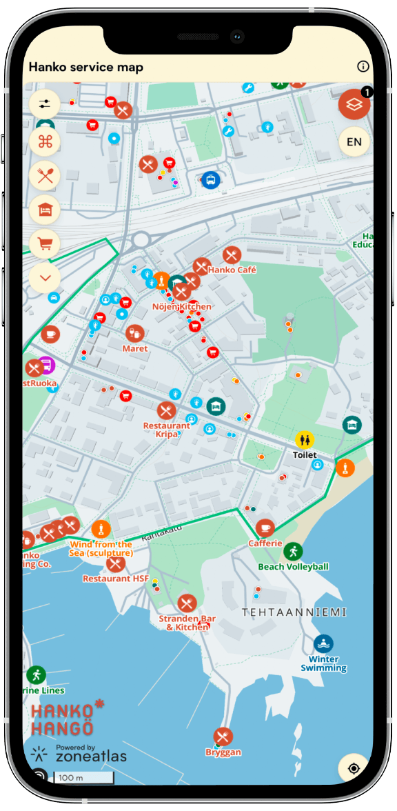
Services, sports facilities, museums, restaurants, shops and beaches all sit on one map that works as well for residents as for visitors. Filter by what you need, tap a place and see the details.
Routes with a story
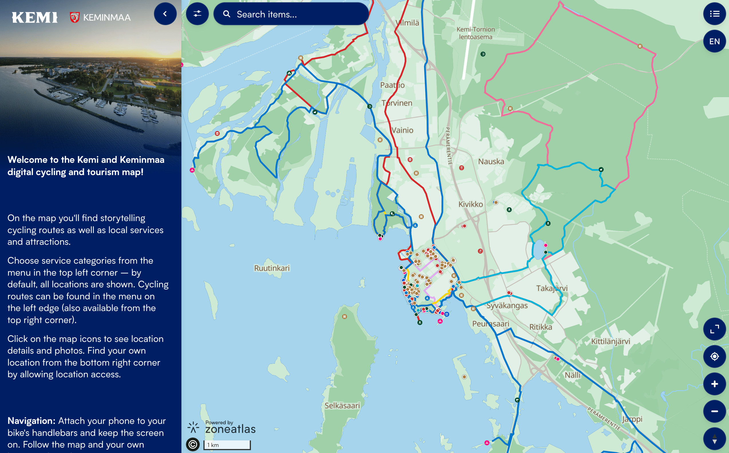
Cycling and walking routespeople actually follow
Publish themed routes with descriptions, photos and stories along the way. Visitors see their own location on the route, and the map keeps working even where the signal drops.
Easy to keep current
A map your small teamcan actually run
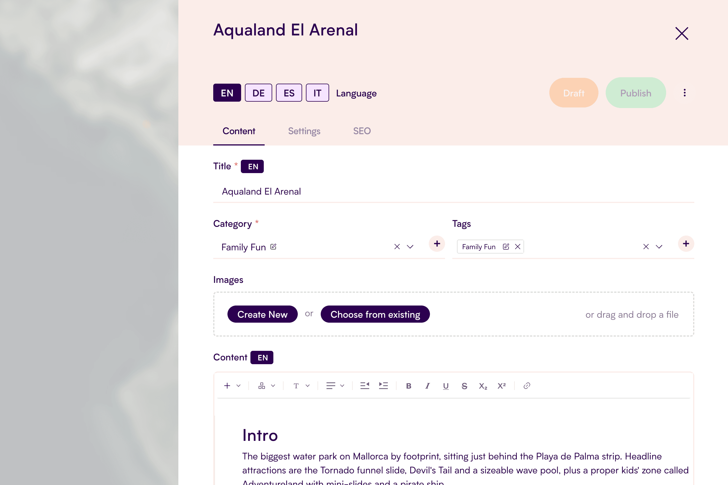
Bring in facilities from LIPAS and listings from Visit Finland DataHub instead of typing them in. Pull events or locations straight from your WordPress onto the map. Give departments and local businesses editor access to their own content, and let the built-in translation tool draft every language version.
See your town on one map
Bring your local sights, and culture routes, together in no time, no GIS experience required.
Extend Your Map
Add-ons
Add powerful features to your map, enhancing its value and creating tailored experiences for users.





Hanko: the whole town, and everything on, in one map
Hanko, Finland’s southernmost town, brought its services, museums, sports facilities, restaurants, shops and beaches together on one map for residents and visitors.
Events are pulled automatically from the town’s WordPress events calendar and shown on their own map layer, so visitors can see what’s on and where, without anyone entering them twice.
Faq
Questions from cities and municipalities
Can’t find your answer? We’ll walk you through it.
No. Build and update your map in the editor without GIS training.
Yes. Once a visitor has opened the map, its content is saved in their browser, so it keeps working when the network at a crowded venue slows down or drops out.
Yes. Give them editor access limited to their layout, and your base map stays under your control.
Yes. Zoneatlas connects to WordPress, LIPAS (Finland’s national database of sports and outdoor facilities) and Visit Finland DataHub (the national tourism product database). You can also import your own spreadsheets, geojson or shapefiles.
Your data is securely hosted within the EU.
Yes. Publish your map in as many languages as you need. A built-in translation tool drafts each language version automatically, so you only need to review and fine-tune the text.
Ready to build your first map?

Timo Joensuu
Start for free, or book a 30-minute demo and we’ll show you how to get the most out of the platform. We’ll focus on your needs, answer your questions, and help you get started.