

Who builds maps with Zoneatlas?
Ski resorts, cities, festivals, stadiums and tourist destinations use Zoneatlas to help visitors find their way. Explore some of our picked client cases, and try the live maps yourself.
Outdoor & nature areas
One trail guide for every activity
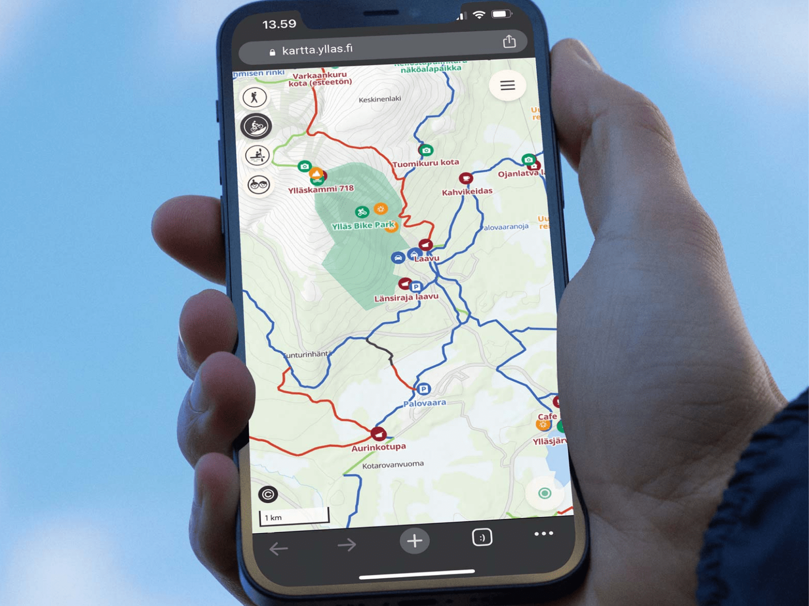
Ylläs, one of Finland’s largest ski resorts, brought skiing, winter trails, cycling, hiking and snowmobiling together in one trail guide. Visitors see trail conditions, difficulty levels and the grooming machines in real time.

Venues, campuses & arenas
From the car park to the right door
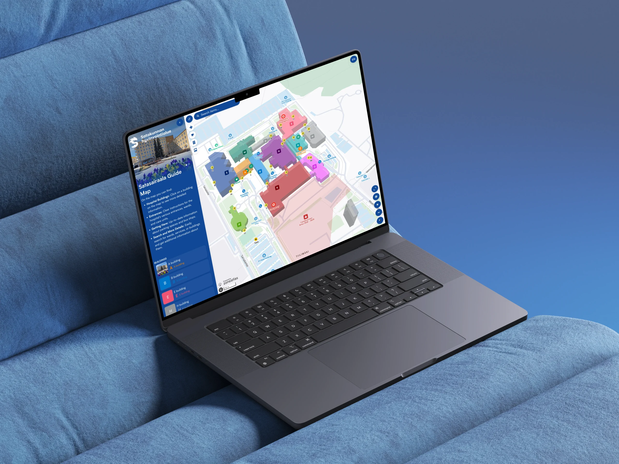
Satasairaala, the regional hospital of Satakunta, helps patients and visitors find the right building, entrance and department. The map shows parking and bus stops, and every service can be found with a quick search.

Cities & municipalities
One trail guide for every activity
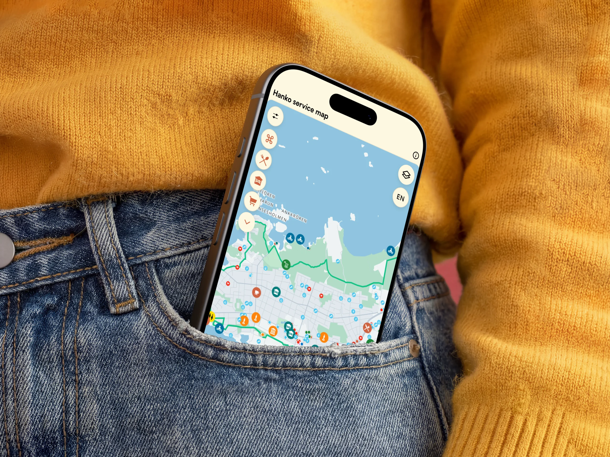
Hanko, Finland’s southernmost town, put its services, museums, sports facilities, restaurants and beaches on one map for residents and visitors. Events come straight from the town’s events calendar and appear on their own map layer.

Outdoor & nature areas
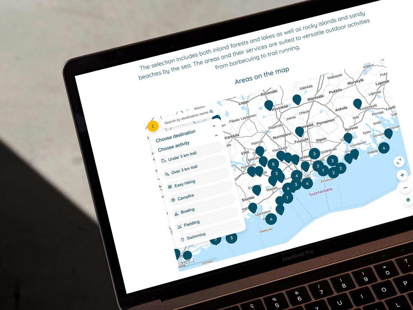
Nearly 100 recreational areas in one place
The Uusimaa Recreational Area Association (UUVI) manages nearly 100 recreational areas in the Helsinki region. Visitors browse the areas on one map, then explore each area’s trails, services and points of interest.

Venues, campuses & arenas
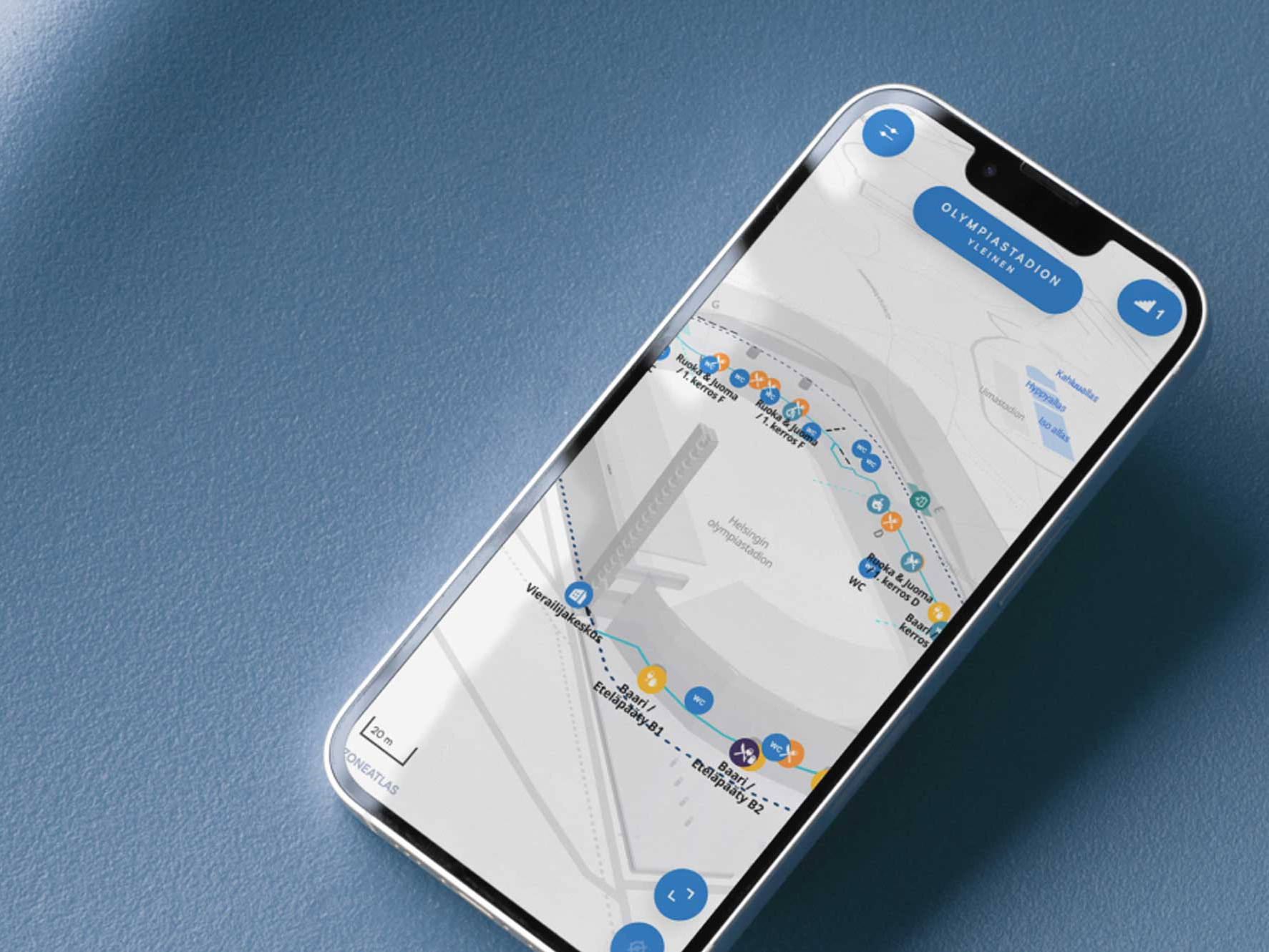
Finland's national stadium, mapped in 3D
Helsinki Olympic Stadium guides concert and match crowds with a 3D map of the stadium. Every major event gets its own layout showing the services and sales points for that day.

Destinations & tourisim
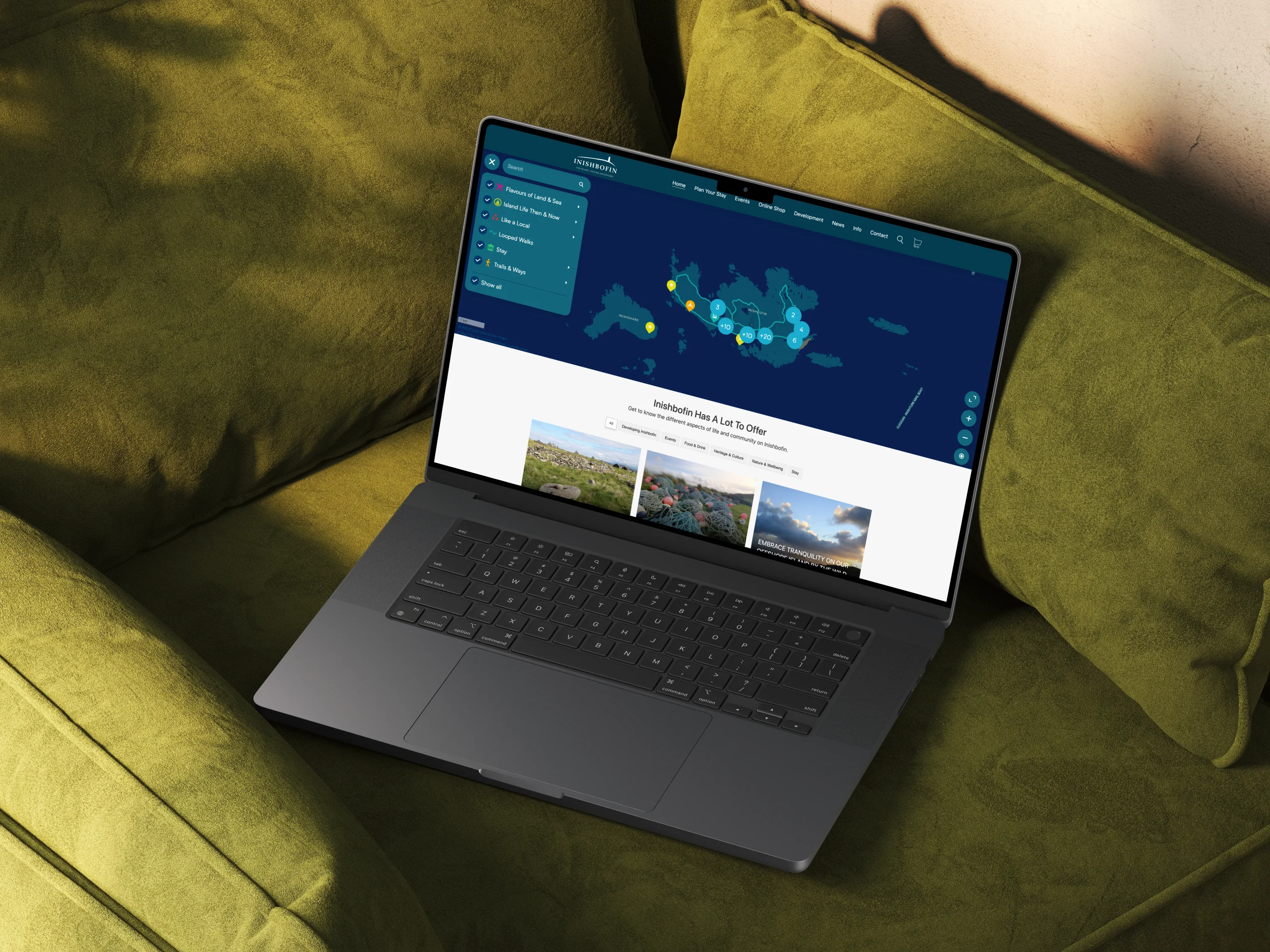
An Irish island, easy to explore
Inishbofin, off the west coast of Ireland, made its restaurants, historic sites, services and hiking trails easy for visitors to find, on a map that matches the island’s own brand.

Events & festivals
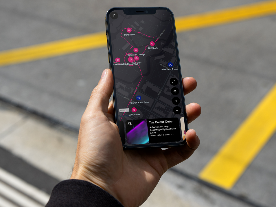
Every light installation on one map
Visitors to the Lumo Light Festival in Oulu find every installation and the services nearby on one map. The same content appears on the festival website, so the team updates it in one place only.
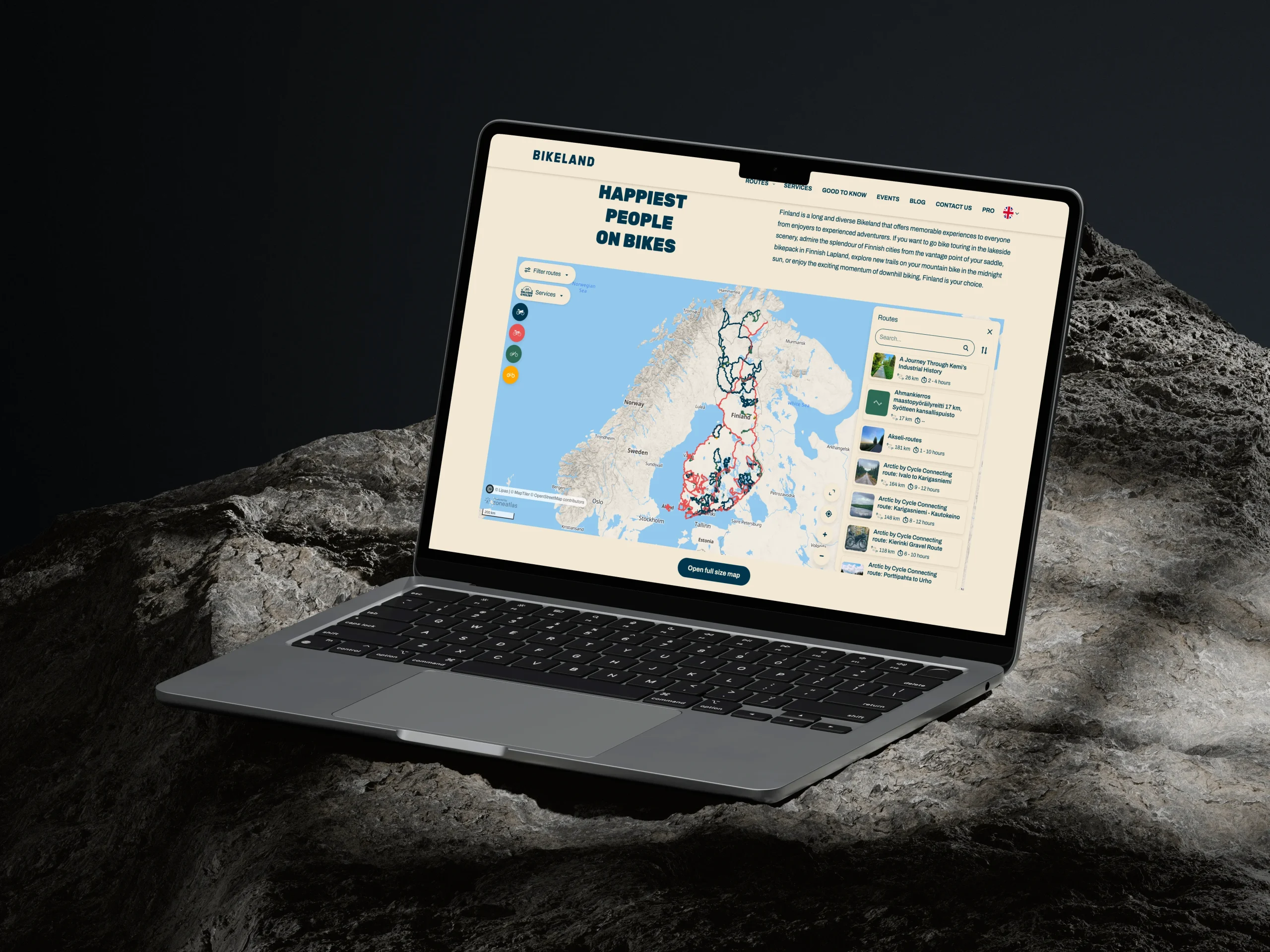

Outdoor & nature areas
Finland's bike trails made easy
Bikeland.fi gathers together Finlands best bike trails. From gravel trails and mountain biking to touring across the country, Bikeland shows you the right way with a Zoneatlas map embedded seamlessly into their WordPress site.
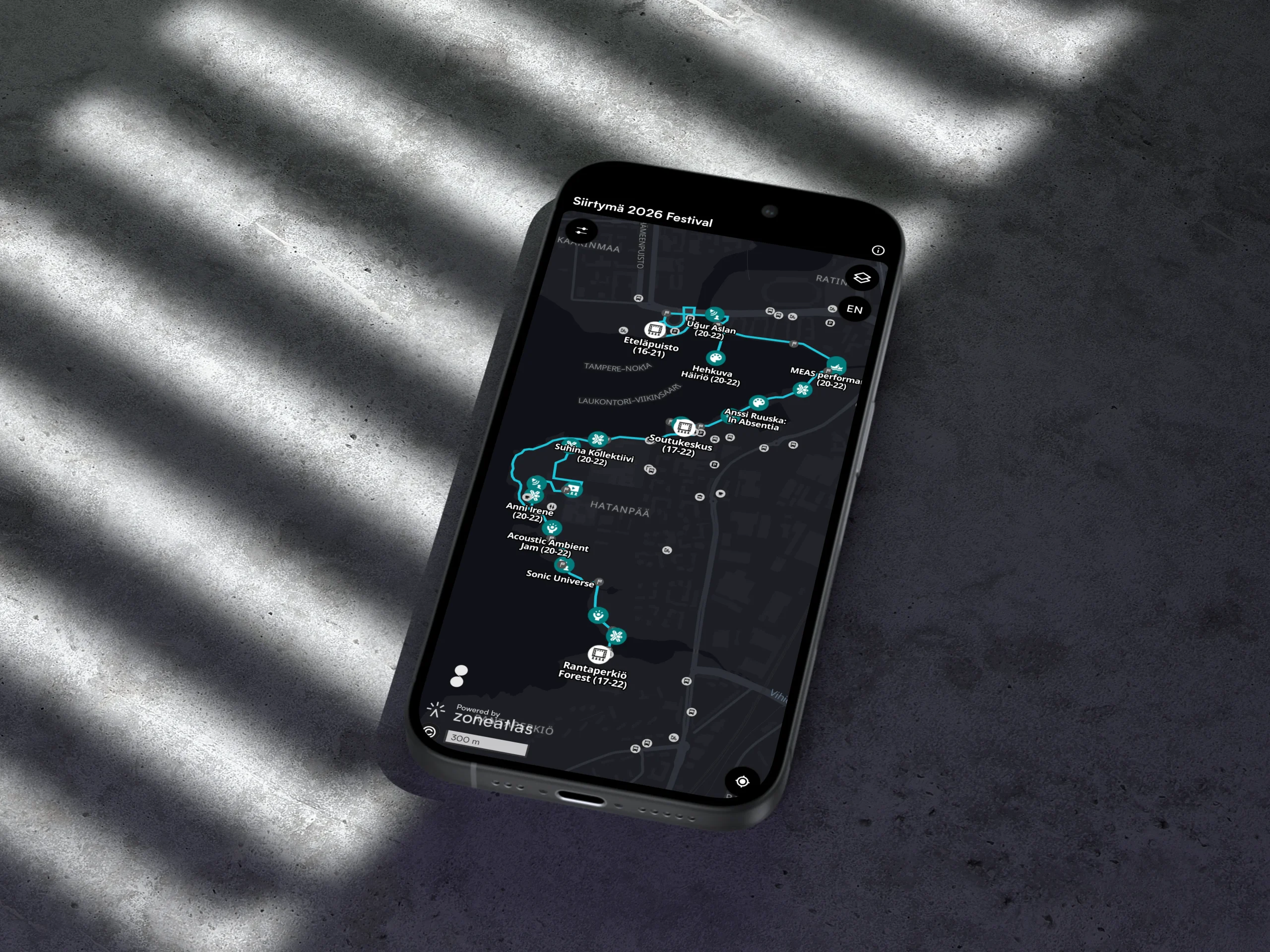

Events & festivals
Digital compass for an ambient festival
To support Siirtymä’s unique multi-stage format, the interactive event map acts as a digital compass. It empowers visitors to explore spatial sound art and simultaneous performances at their own pace without missing key locations, resting spots, or festival amenities along the parkland route.
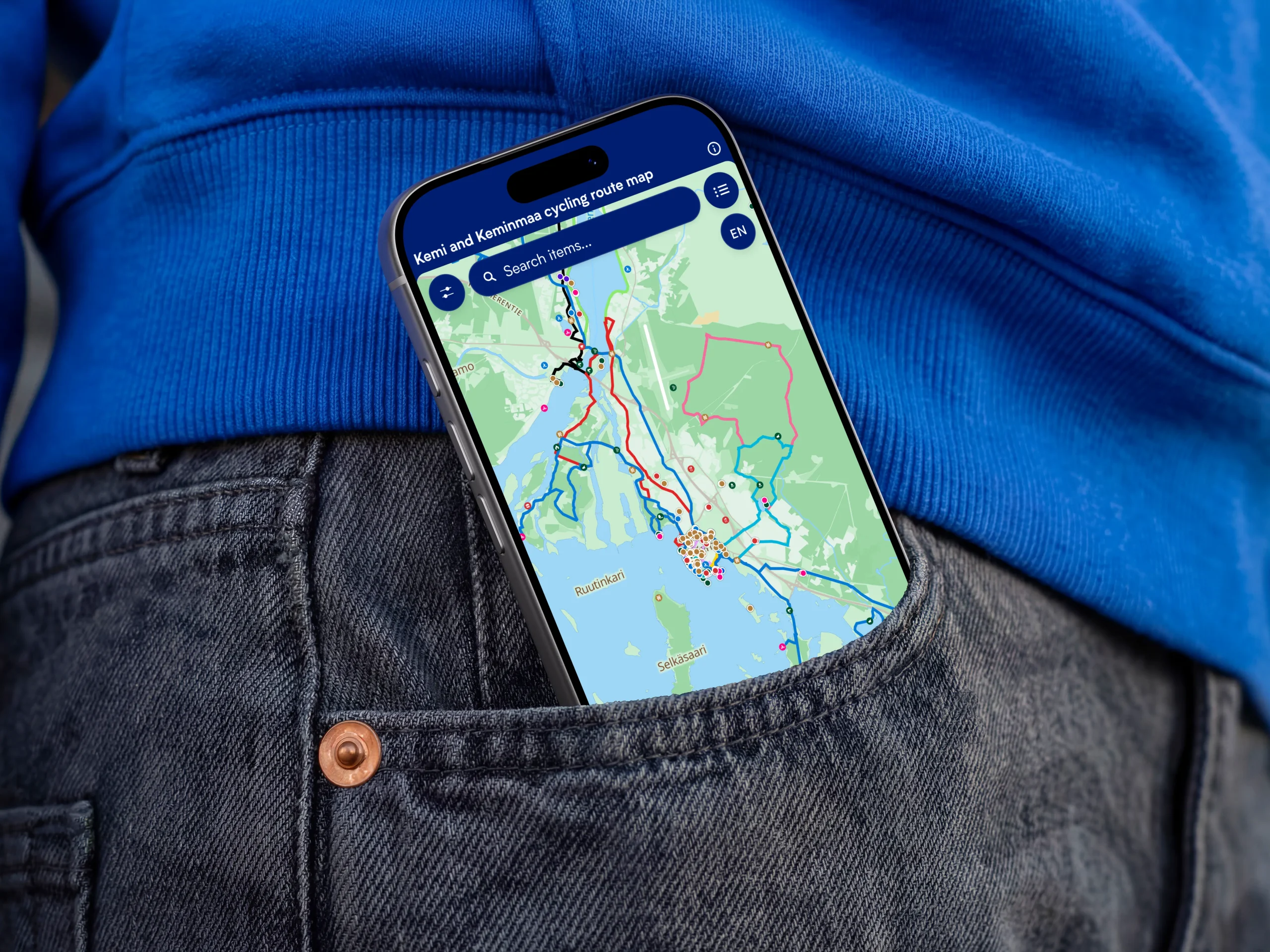

Cities & municipalities
A pocket sized digital cycling guide
The digital cycling route map of the Kemi-Keminmaa area is a pocket-sized interactive guide that leads visitors along the area’s themed cycling routes. Read how the cycling experience of the Kemi area was upgraded with Zoneatlas.
Ready to build your first map?

Timo Joensuu
Start for free, or book a 30-minute demo and we’ll show you how to get the most out of the platform. We’ll focus on your needs, answer your questions, and help you get started.