
A pocket sized digital cycling map of Kemi & Keminmaa
The digital cycling route map of the Kemi-Keminmaa area is a pocket-sized interactive guide that leads visitors along the area’s themed cycling routes. Instead of a paper brochure, the route network was put together on a digital platform for several reasons explored in more depth bellow.
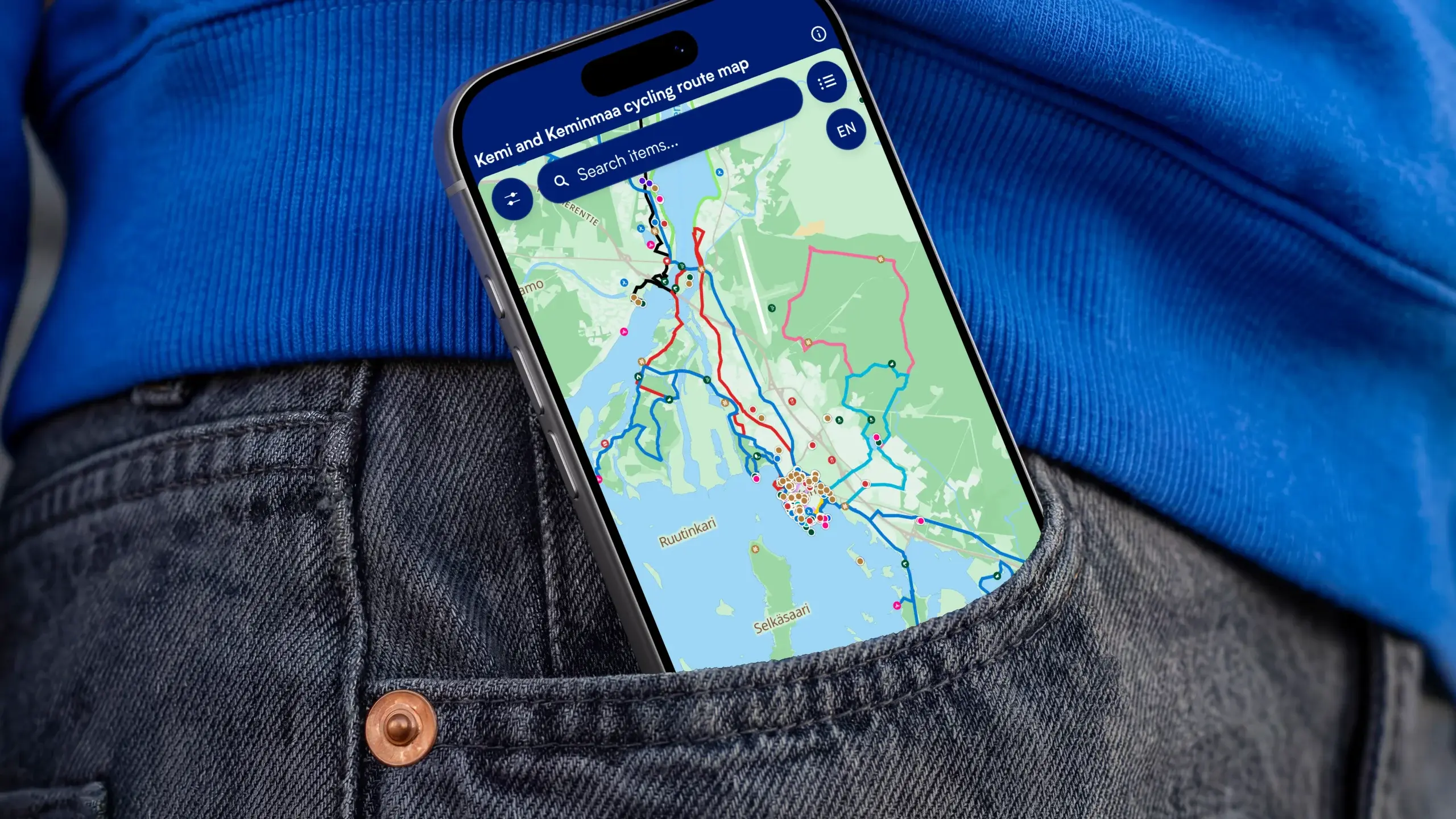
Easy and efficient sharing
With Zoneatlas maps, routes and map views can be shared as links, embeds, or exports across various platforms, without the printing and distribution costs of paper maps. Tens of thousands of tourists visit the Kemi area each year. A digital map provides a cost-effective channel for showcasing the region’s opportunities to visitors, allowing marketing to be precisely targeted to the desired audience. Additionally, routes can easily be exported from the platform to your preferred device, for example, for more detailed navigation.
Maintainability and real-time updates
With paper maps, maintaining accurate and up to date information is a nightmare. With each change, new maps need to be printed and distributed. Thanks to the new digital map, new routes, changes, and updates are visible to all users instantly. This eliminates the slow update cycle of paper maps, recurring printing costs, and the risk of outdated information.
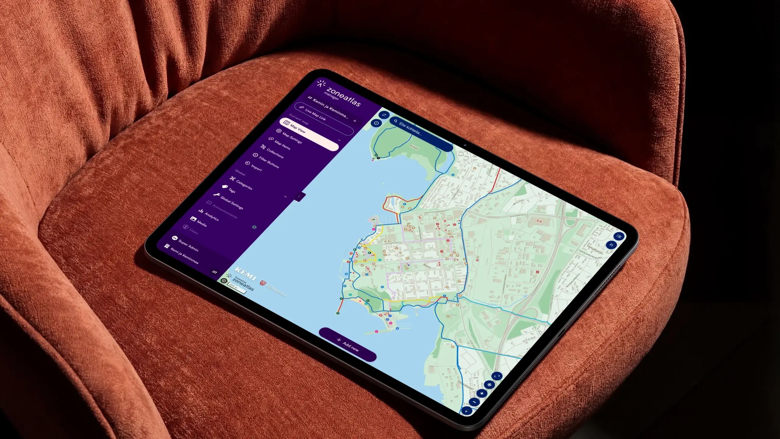
Additionally with Zoneatlas Manager, timely announcements can be added extend the functionality of the map. Announcements can inform users of changes to routes and critical notices right on the map, keeping users in the loop.
Usability & overall clarity
The cycling route network in the Kemi area consists of several overlapping routes. With a digital solution, these routes can be displayed as clear, individual tracks, allowing users to browse themed routes as distinct entities. The service also makes it easy to get a comprehensive overview of what’s on offer, which is especially important for visitors unfamiliar with the area.
Zoneatlas maps are always clear with colors and icons designed for an optimal experience. The Kemi cycling map utilizes colors to it’s advantage beautifully separating different routes. Furthermore Kemi’s service map points are clustered to leave room for the cycling routes to shine.
Story-driven routes
The digital guide brings together route information, regional services, and point-of-interest data. Information closely tied to the routes. Sights, restaurants, cafés, and resting places are displayed directly alongside the paths. This allows users to easily find the services they need without separate searching. The solution also enables routes to be presented as themed trails, allowing visitors to immerse themselves in the area’s history and local lore in an engaging new way.
Explore the cycling routes in the Kemi area with Velogi:
Ready to build your first map?

Timo Joensuu
Start for free, or book a 30-minute demo and we’ll show you how to get the most out of the platform. We’ll focus on your needs, answer your questions, and help you get started.