
Trails, conditions and services, always current
Put attractions, trails, restaurants and services on one interactive map. Publish it on your website, info screens and in print, and keep it current through every season.
Trusted by Finland's national forest agency, regional park networks and leading ski resorts in Lapland





Live trail status
Visitors knowbefore they go
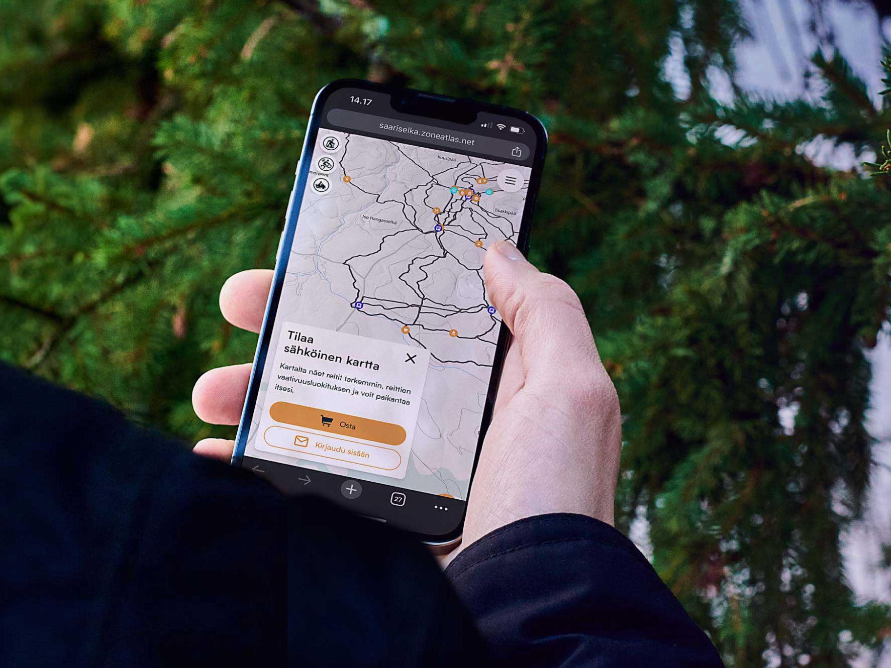
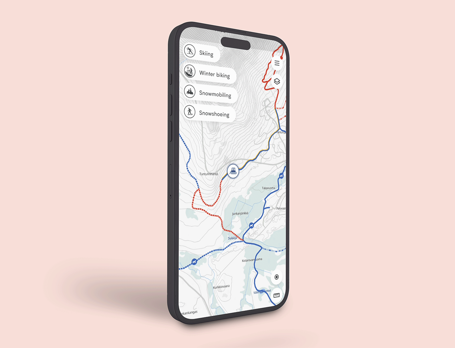
Show which trails are open, how they were last maintained and where the grooming machines are right now. When conditions change, update the map and every channel shows it immediately.
Every visitor's language
Welcome visitorsin their own language
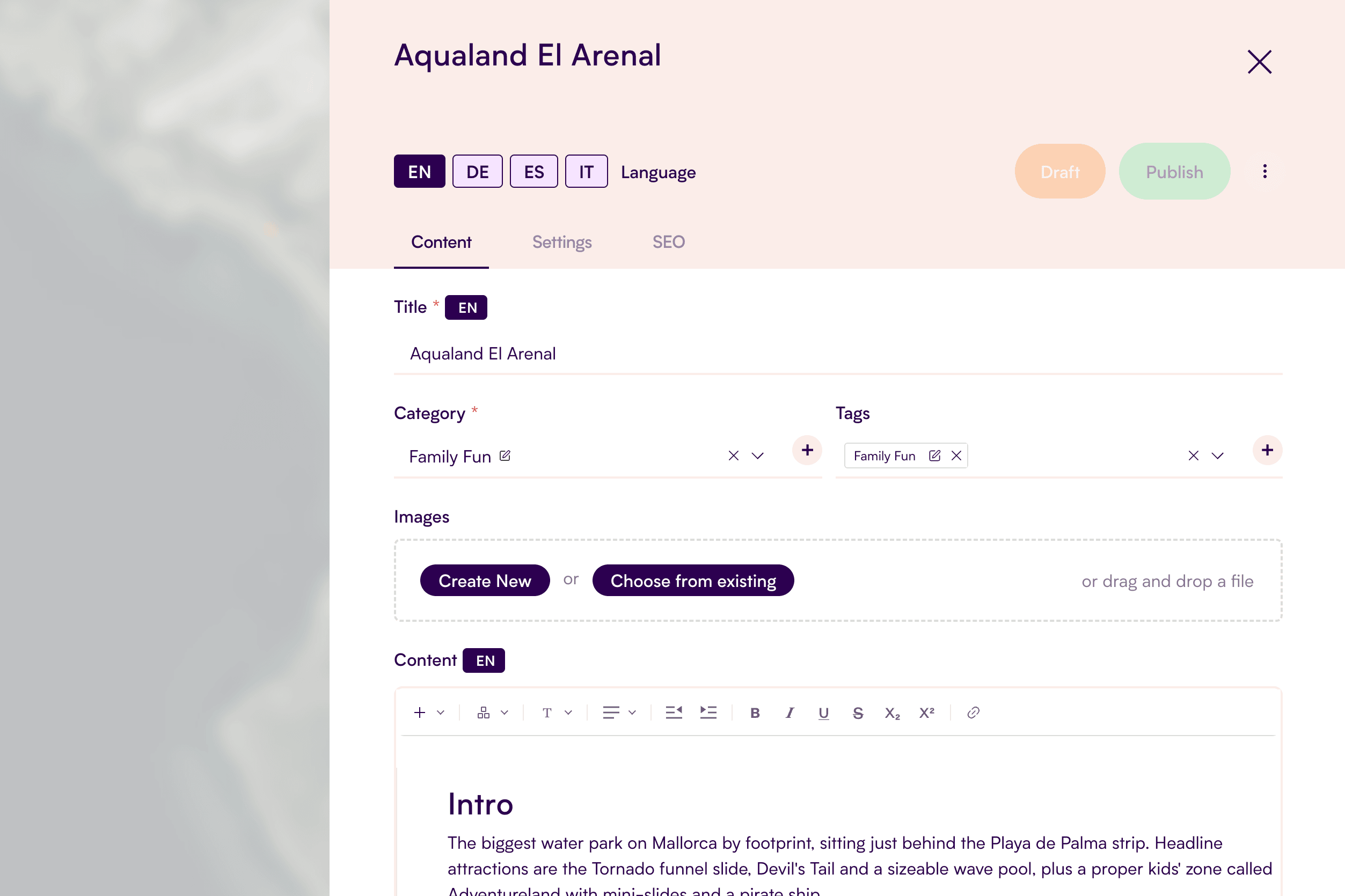
Publish your map in as many languages as you need. The built-in translation tool drafts each version for you, so a small team can maintain several languages without a translation budget.
Map monetization
Let your mappay for your trails
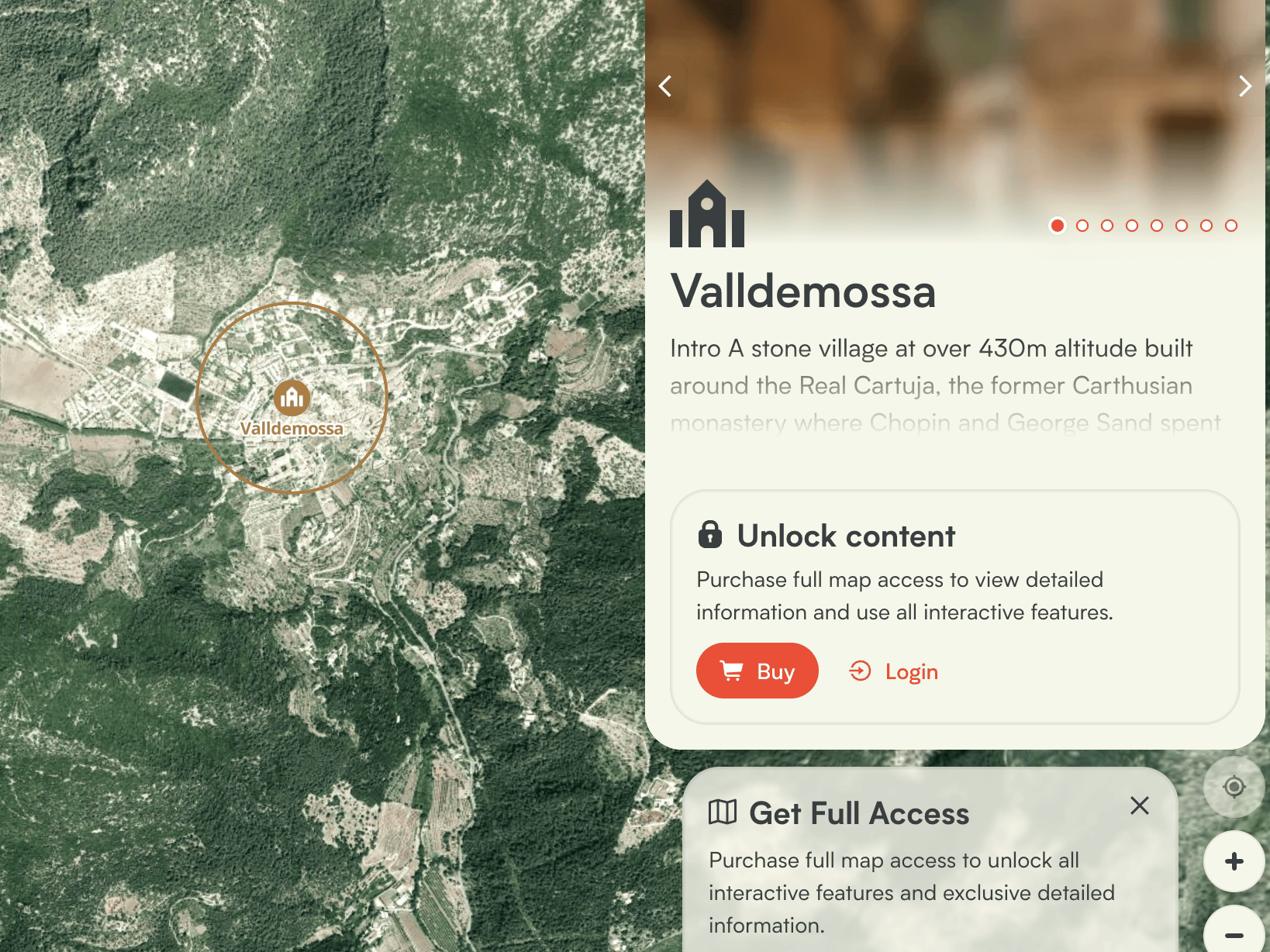
Keep the map free and sell what visitors value most: up-to-date trail conditions. You can also charge for selected content or for the whole map. Set your own price and how long access lasts, from a day pass to a full season. Many outdoor area on Zoneatlas sells trail condition updates, and reinvest the income in trail maintenance.
Extend Your Map
Add-ons
Add powerful features to your map, enhancing its value and creating tailored experiences for users.





One trail guide for every activity in Ylläs
Ylläs, one of Finland’s largest ski resorts, replaced separate activity maps with one trail guide covering skiing, winter trails, cycling, hiking and snowmobiling.
Visitors see trail conditions, difficulty levels and grooming machines in real time, on the resort’s own domain. Map sales help fund the upkeep of the trails.

Faq
Questions from outdoor area managers
Can’t find your answer? We’ll walk you through it.
Yes. Open the map once while you have a connection, and it’s saved on your phone, including the background map, trails and places. It keeps working out on the trail, even with no signal at all.
Tip for area managers: put a QR code at the trailhead and car park, so visitors open the map before they lose coverage.
Yes. The editor and Zoneatlas Maintenance both work on a phone, so crews can mark a trail as groomed, closed or reopened on the spot. The change shows on the visitor map straight away.
Yes. Publish your map in as many languages as you need. A built-in translation tool drafts each language version automatically, so you only need to review and fine-tune the text.
You decide. Charge for the whole map, for trail condition updates only, or for the content of selected places. Most outdoor areas keep the map free and sell trail condition updates as a trail pass.
Your data is securely hosted within the EU.
Ready to build your first map?

Timo Joensuu
How can I help you?
+358 50 356 1775
hello@zoneatlas.com
Start for free, or book a 30-minute demo and we’ll show you how to get the most out of the platform. We’ll focus on your needs, answer your questions, and help you get started.