
Manager - Map Editor
Build maps without a GIS team
Add points of interest, draw routes and areas, set your brand colours and publish. Manager runs directly in your browser with an effortless setup so your team can start creating right away.
Trusted by the industry's top players




USABILITY
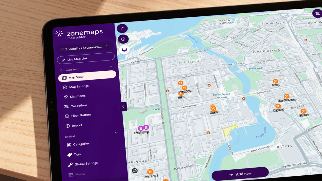
Built for ease of use
Designed with usability at its core, Manager’s intuitive interface ensures your team can handle any task with ease—delivering a simple, seamless experience for both admins and end-users.
CONTENT
Bring your data to life on the map
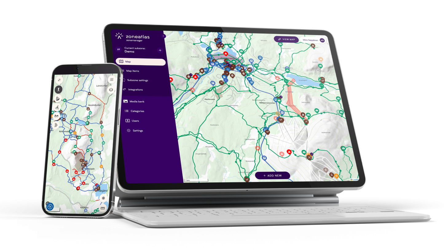
Easily add points of interest, routes, and custom areas in just a few clicks or upload your own datasets using our robust import tool. Draft hidden content behind the scenes, then push real-time updates whenever you're ready.
CUSTOMIZATION
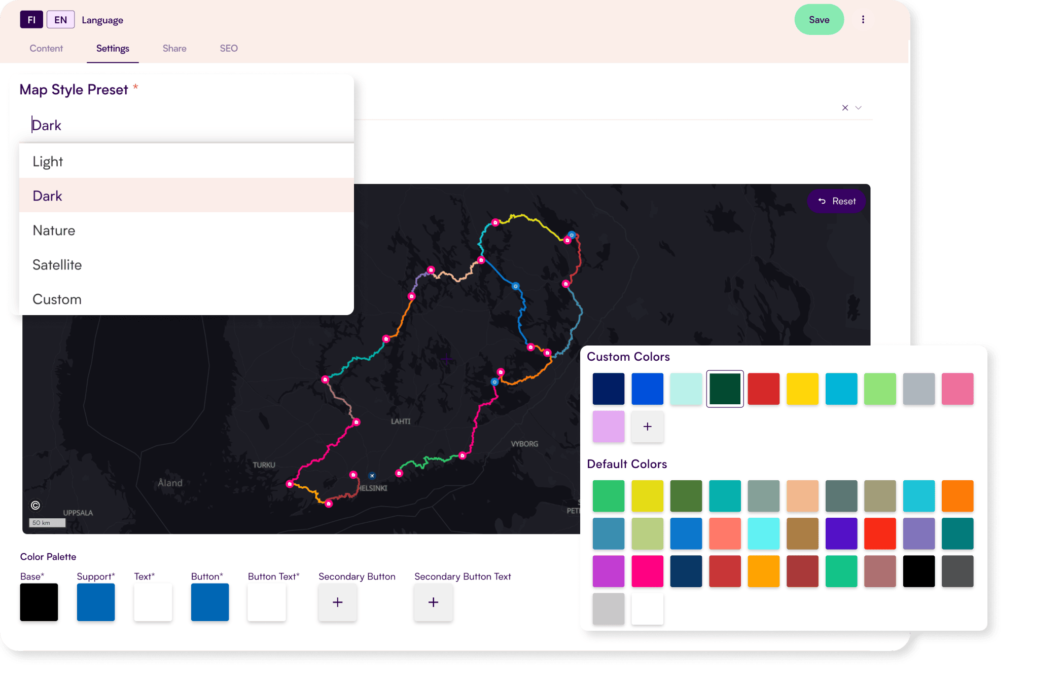
Make it look like yours
Change colors and add logos to match your brand or vision. Choose what components are most useful for your users.
PRIORITIZATION
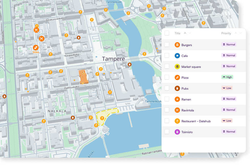
Keep a busy map readable
Choose what matters most so users find relevant information. Cluster points when zoomed out and reveal key information dynamically.
Multi-Platform Deployment
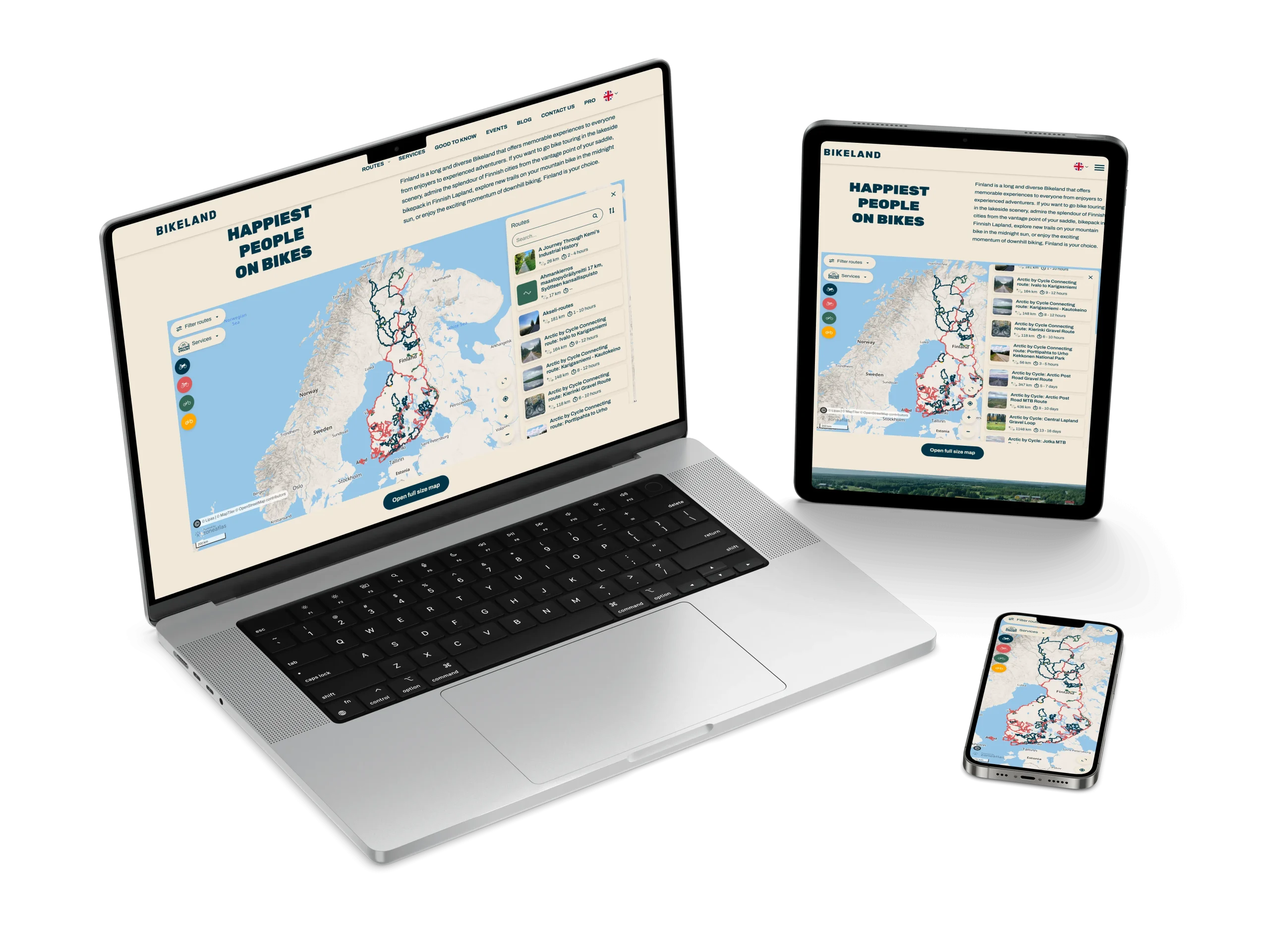
Share & embed anywhere
• Deploy instantly and access anywhere
• Built to work seamlessly across all devices and screen sizes
• Share URL links with one click
• Embed it into any website or mobile app of your choice

Integrate data
Zoneatlas API & Custom integrations
• Utilise our dedicated API endpoints to access Zoneatlas data with any workflow
• Gather important geo information into one source with custom integrations
Capture insights
Built-in analytics
• Capture insights to drive smarter decisions
• Track engagement and user activity in real time
• See what users are searching for and improve discovery

Try it with your own data
Get started free with your own data, or if you’d rather see it driven by someone who knows it, book a 30-minute demo.
Extend Your Map
Add-ons
Add powerful features to your map, enhancing its value and creating tailored experiences for users.




Faq
Frequently asked questions
Didn’t find the answers you were looking for? We’re here to help! If your question wasn’t covered in our FAQ, book a demo and we’ll talk it through.
Unlike desktop GIS tools that require specialized technical training and complex license setups, Zoneatlas Manager is a cloud-based web application designed for non-GIS teams. It offers intuitive map editing, real-time publishing, and custom branding without the steep learning curve.
Yes. Zoneatlas Manager offers a free tier with no credit card required and no time limit, allowing you to build and test maps at your own pace. Paid plans unlock custom domain deployment, advanced integrations, higher usage limits, and dedicated support as your needs grow. See pricing for more information.
Yes. Manager is fully GDPR compliant, with all customer data stored and processed strictly within the EU. Your data never leaves the EU and is fully encrypted at rest and in transit.
While Google Maps provides generic base maps, Manager allows full control of what your maps look like with custom branding tools, easy content management with instant publishing and privacy-compliant EU hosting.
Yes. A core philosophy with Manager is that you don’t need to create the same content multiple times. Use the built in import tool to add data in various geo formats or utilise our custom integrations to connect your map with different data sources.
Ready to build your first map?

Timo Joensuu
Start for free, or book a 30-minute demo and we’ll show you how to get the most out of the platform. We’ll focus on your needs, answer your questions, and help you get started.